| Project Grant Application (w/ Budget) | [Download] |
| Project Grant Evaluation | [Download] |
| Project Report | [in progress] |
| Surveying Methodology | USGS GDE Survey Guide |
| Project Description | |
|
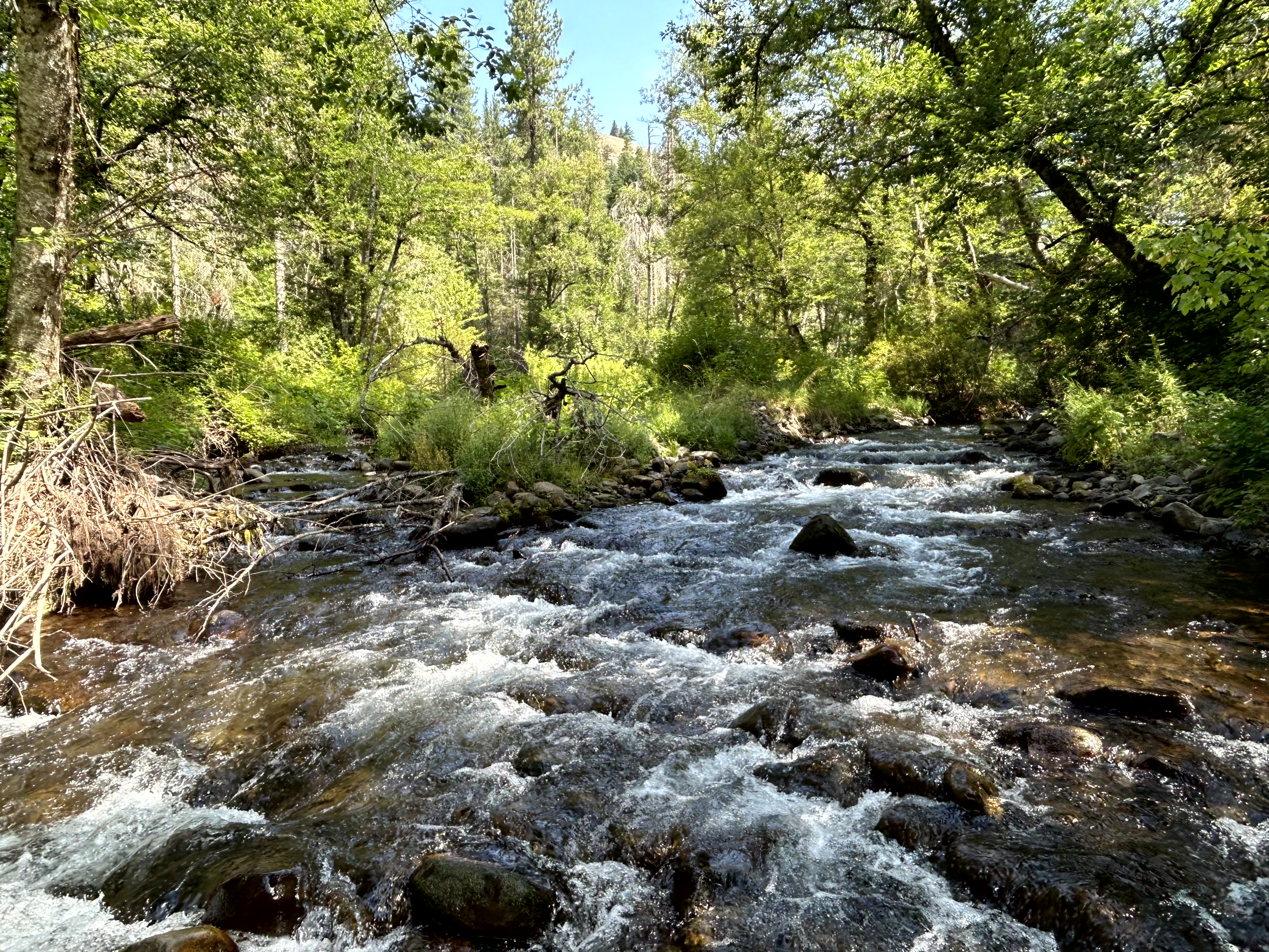
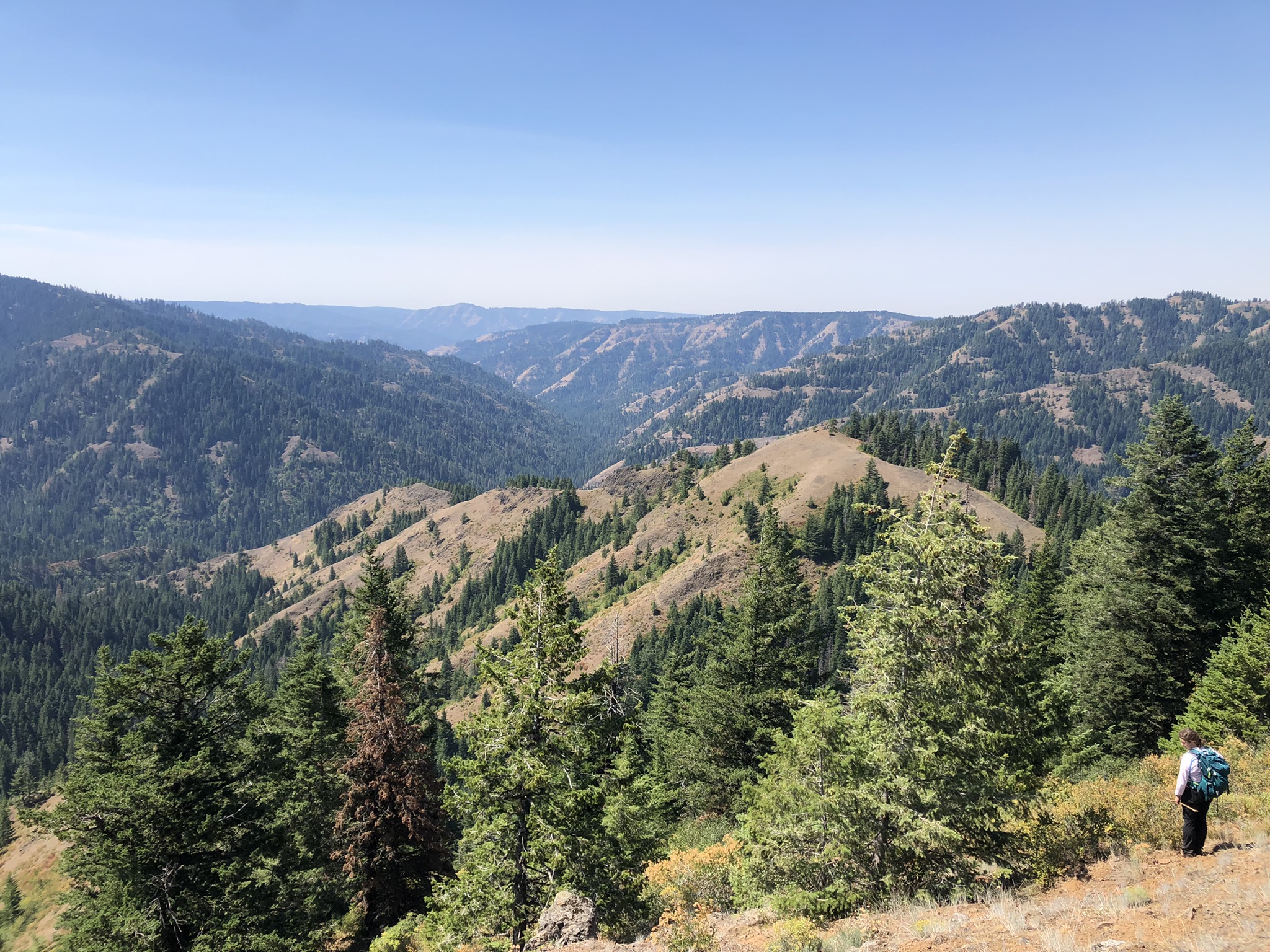
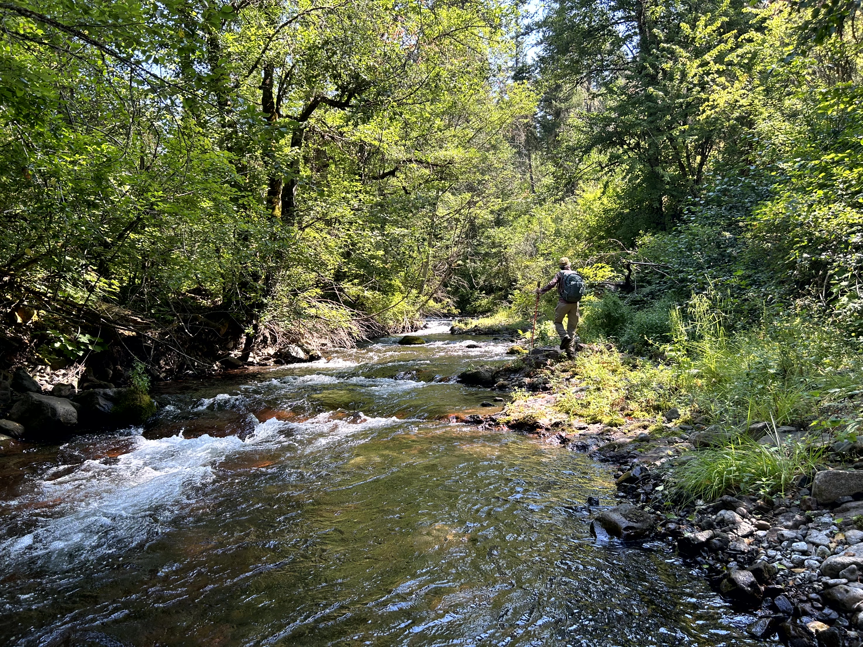
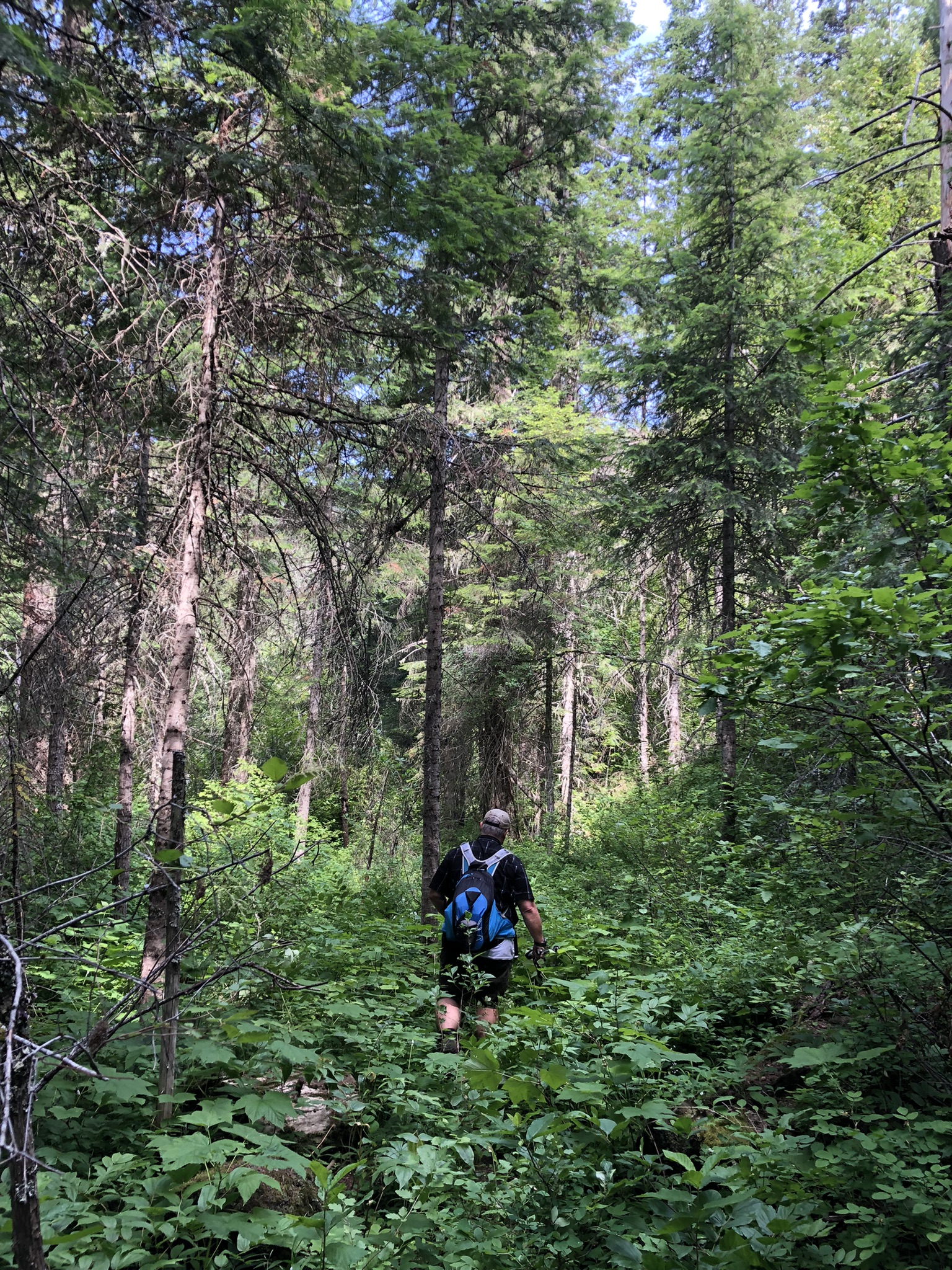
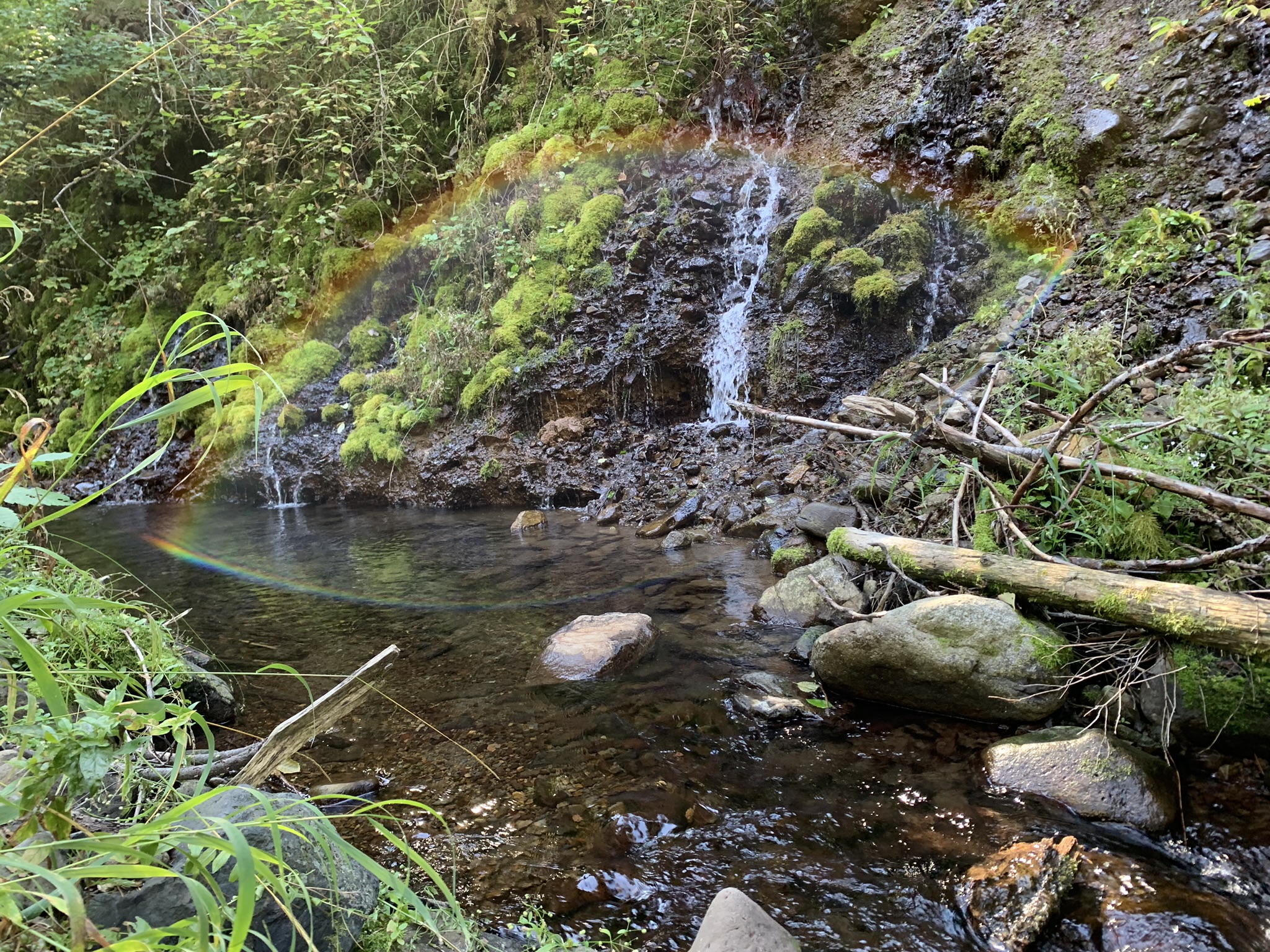
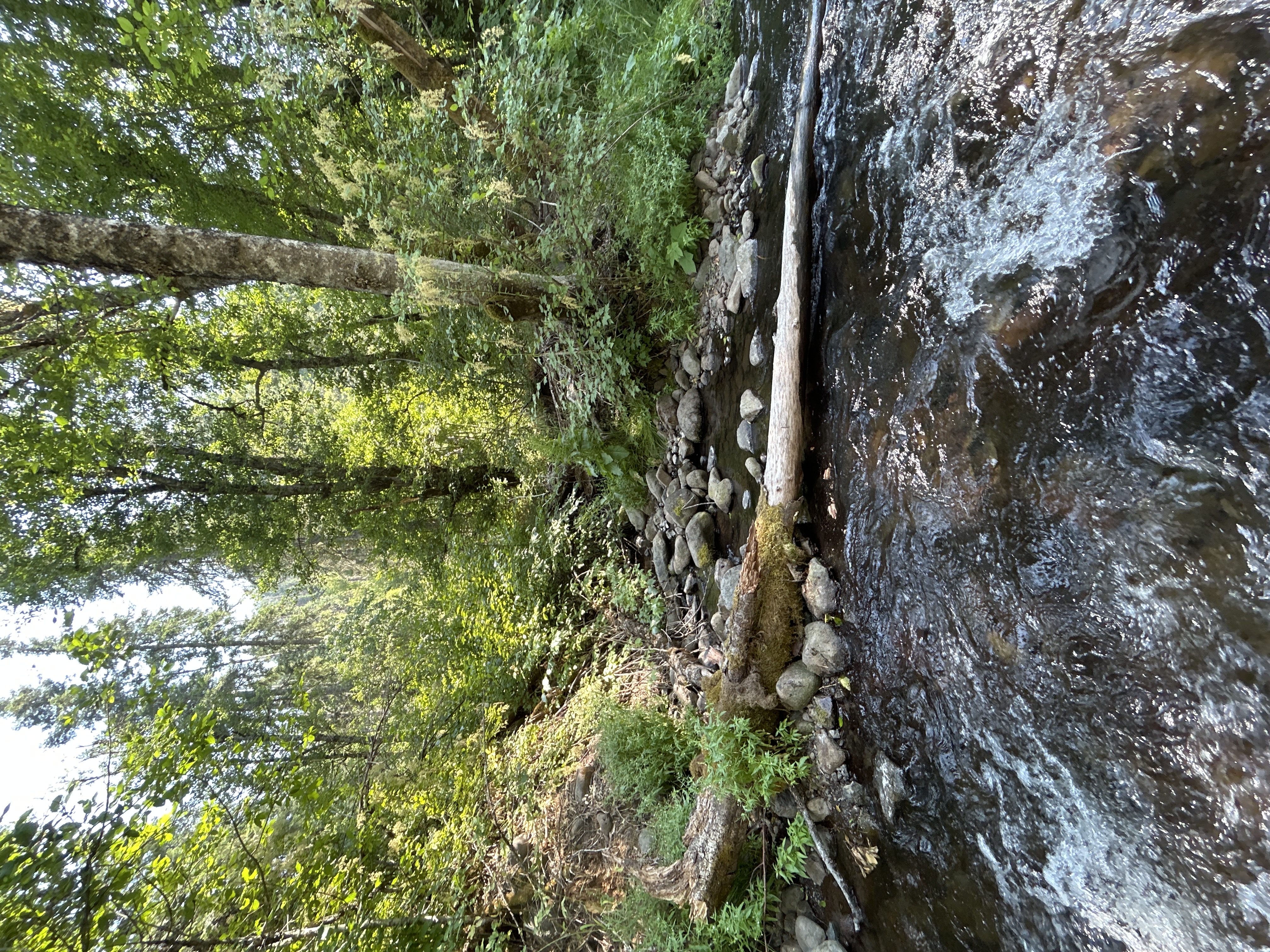
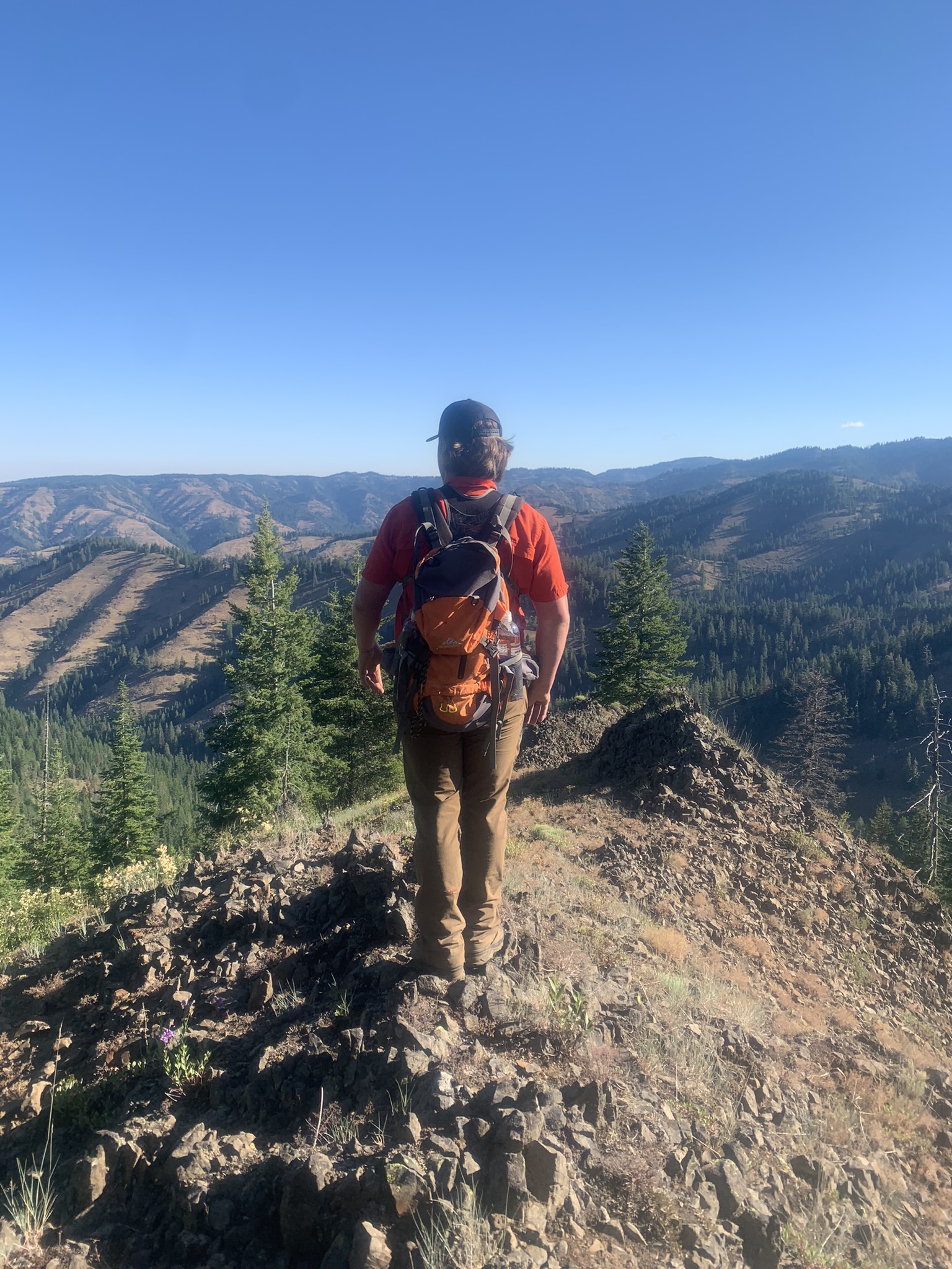
The Walla Walla Basin Watershed Council (WWBWC), City of Walla Walla, Confederated Tribes of the Umatilla Indian Reservation (CTUIR), and the Walla Walla Ranger District on the Umatilla National Forest partnered to locate, map, and describe the surface flow paths and groundwater resources that provide summertime base flows in Mill Creek. Mill Creek is utilized by ESA-listed Mid-Columbia Steelhead, bull trout, and culturally significant spring Chinook salmon. The upper watershed provides excellent aquatic habitat but is vulnerable to catastrophic fires and other climate-related impacts. Downstream conditions in Mill Creek are far less suitable, with well-documented impairments including seasonal low flow and high water temperature. Climate models predict changing precipitation and infiltration patterns in the Blue Mountains will reduce water storage and consequently reduce spring production. Mill Creek is a groundwater-dependent system with summer base flows supplied, in large part, by numerous springs emerging from basalt aquifers in the Blue Mountains. The location and status of the watershed’s groundwater resources are not well documented. Baseline data describing the current conditions of groundwater resources in the Mill Creek Municipal Watershed are needed to document and understand climate-related impacts on water supplies, protect existing high-quality habitat, and guide efforts to reduce the impact of predicted climate changes on native fish. WWBWC worked with partners to complete spring surveys over the summer of 2023. Options are being explored to extend the work into the field window of 2024. Data is still being analyzed, though it shows similar indications as the Walla Walla River Base Flow Assessment. |
|
20 days +
WWBWC and partners spent 20 field days in the Mill Creek watershed.
61 Springs +
61 various spring types were surveyed and documented.
.jpg)