 |
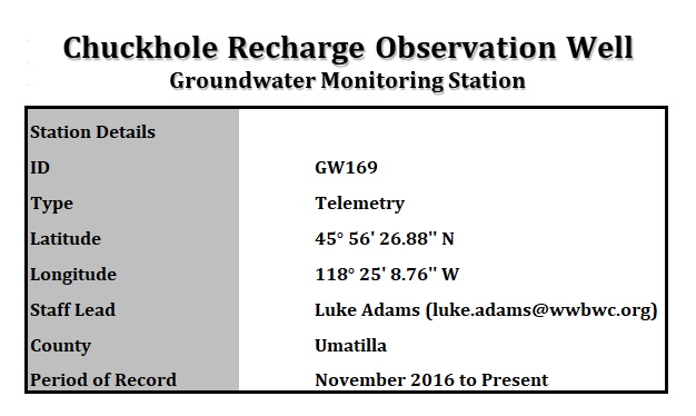
General
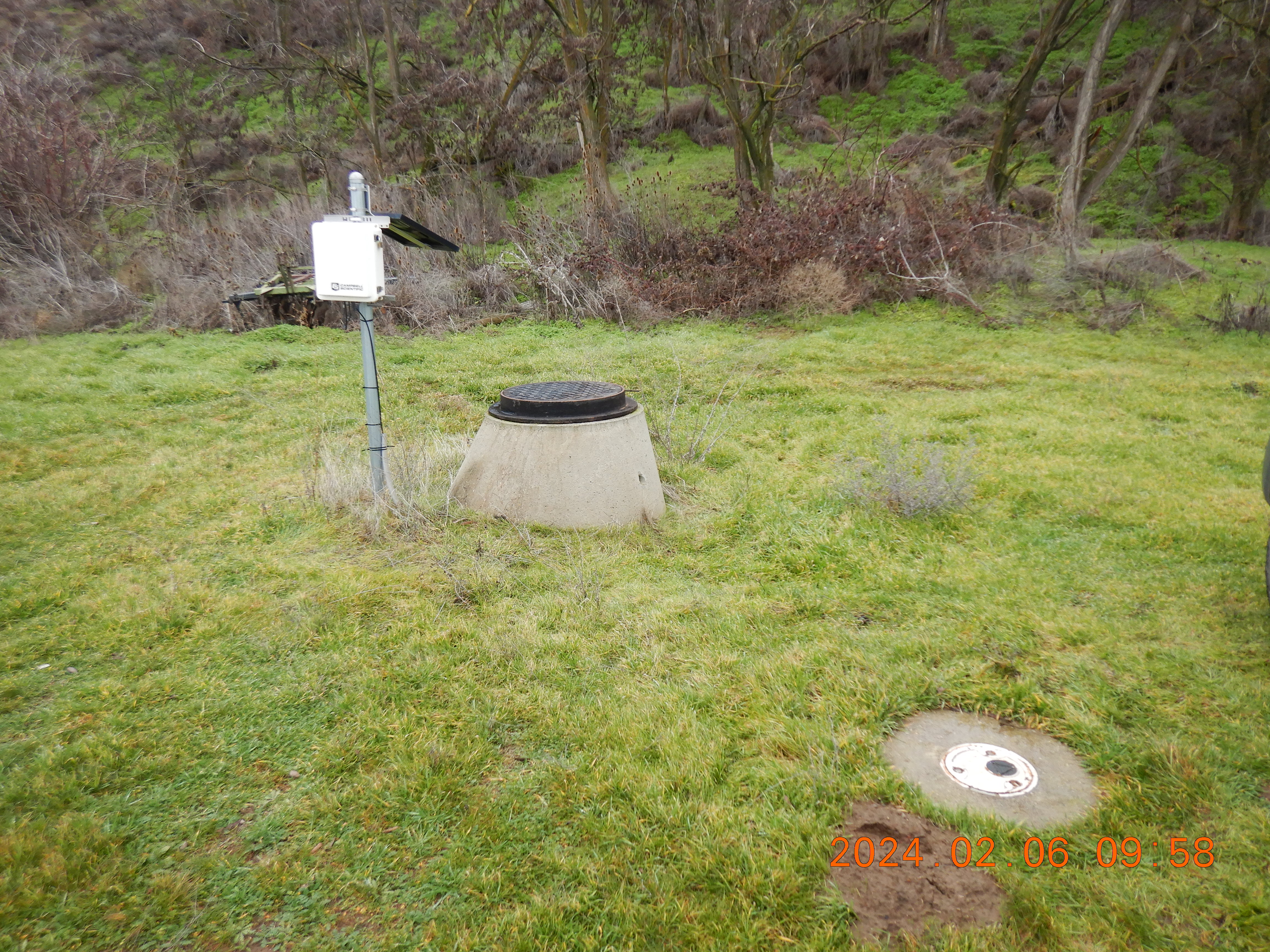 |
Description: The well is located up-gradient of the Chuckhole Aquifer Recharge Site. |
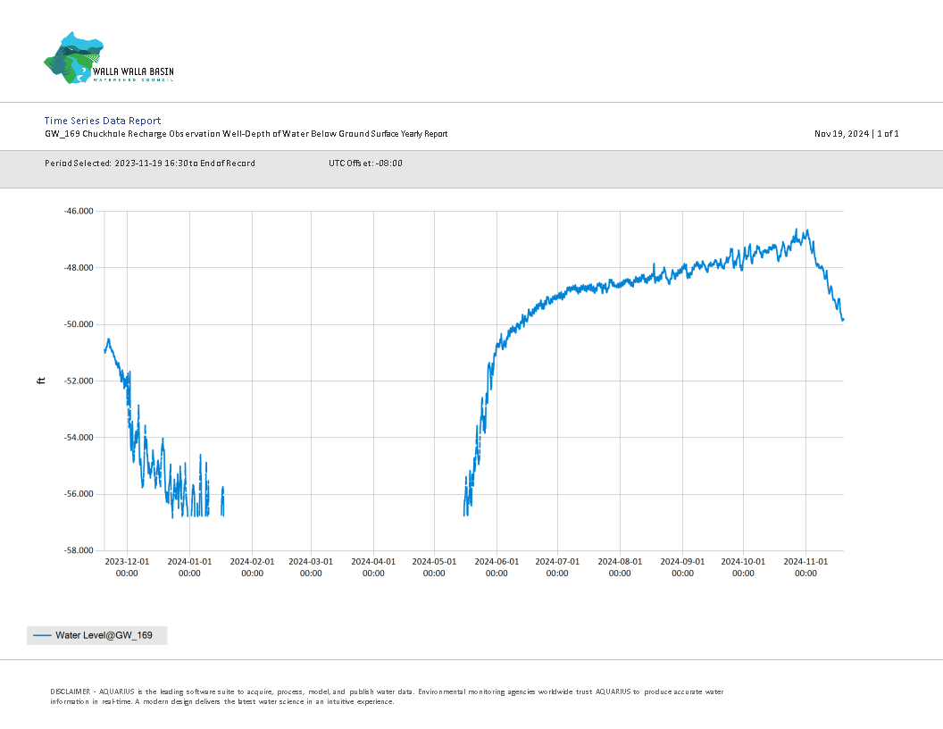
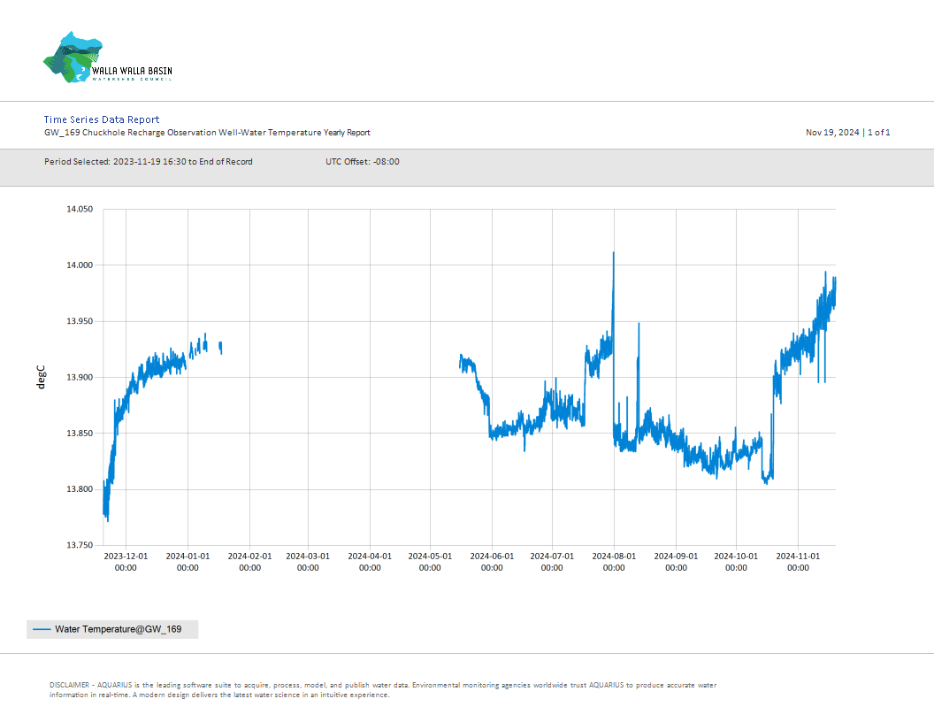
Yearly Well Data
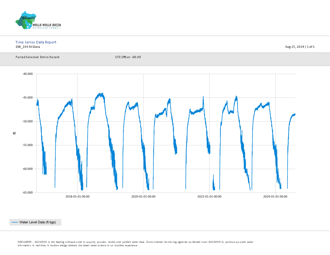
All Well Data
All Well Data Hydrograph (feet below ground surface - ft bgs)
Download All Data
Download All Data (.csv format)
Download Daily Average Data (.csv format)
Metadata for Data (.txt format)
*Data is updated every 3 months
Chuckhole Aquifer Recharge Information
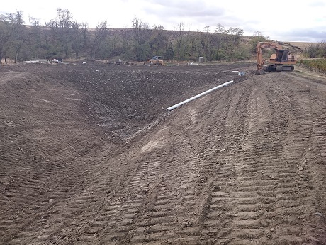 |
Chuckhole Aquifer Recharge Site |
|
Construction Year: 2015 Recharge Seasons: 2016 - Present |
|
| Project Description | |
| The Chuckhole Aquifer Recharge site is located just northwest of the city of Milton-Freewater, OR. The site is an infiltration basin design with a sediment settling pond. The Chuckhole site is located near the end of the Milton pipeline. The site was constructed in the fall of 2015. The site is expected recharge approximalely 300-400 gallons per minute (gpm) or just under 1 cubic feet per second (cfs). | |
| Documents | Document Name | Download Documents |
| Project Designs | Click here to download | |
| Project Photos | Click here for project photos | |
| Grant Application | Click here to download | |
| Grant Evaluation | Click here to download | |
| Grant Agreement | Click here to download |
| Contacts & Partners | Name | Role | Organization |
| Mark Johnson | Site Construction | Harry Johnson Plumbing and Excavation | |
| Steven Patten | Project Lead | Walla Walla Basin Watershed Council | |
| Lance Horning | Project Engineer | Lance Horning Engineering |
| Grants & Funding | Organization | Contract # | Funding Amount |
| Oregon Watershed Enhancement Board (OWEB) | $214-6012-10490 | ||
