| Project Grant Application | [Download] |
| Project Report | [Download] |
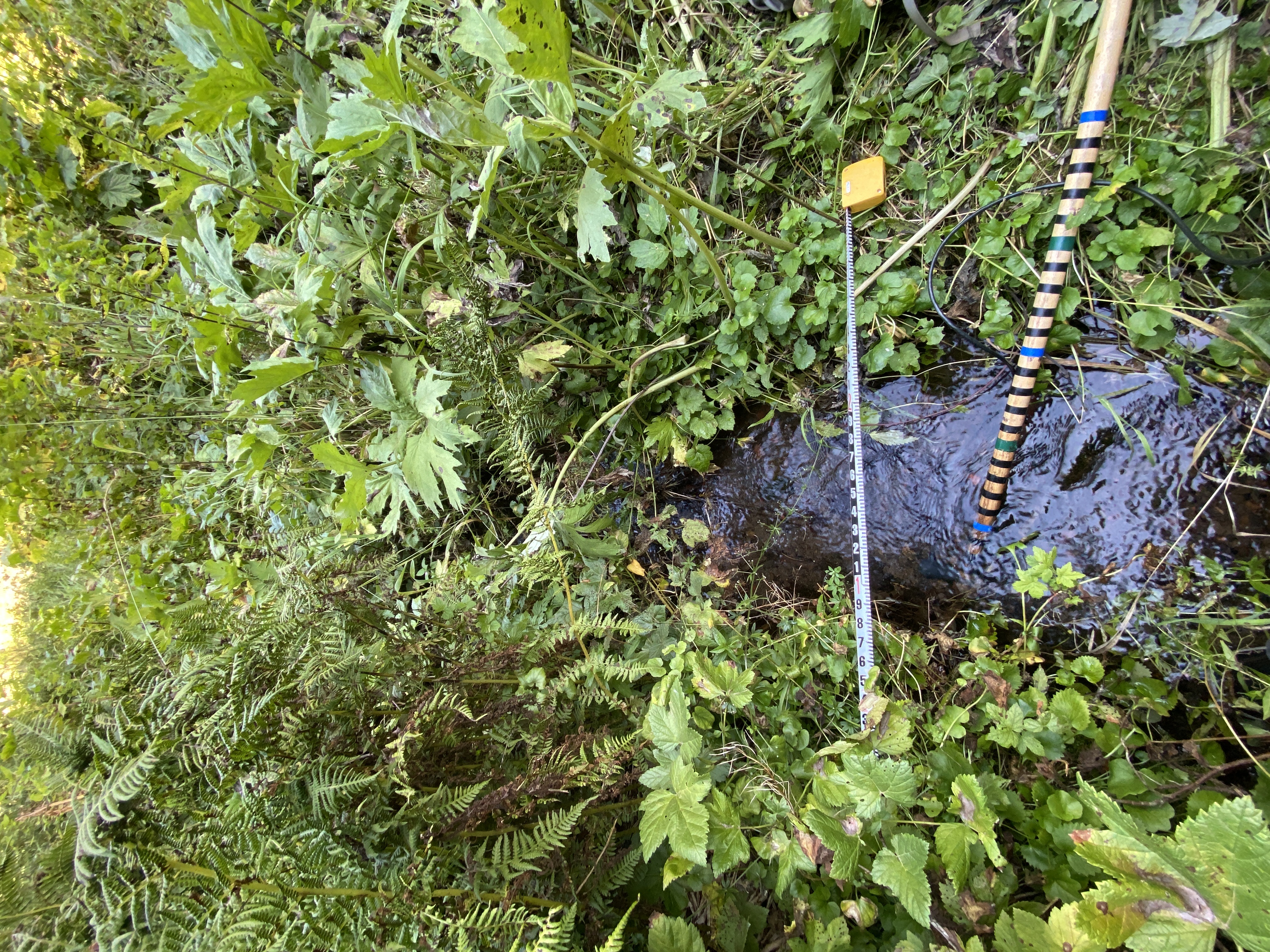
| Surveying Methodology | USGS GDE Survey Guide |
| Project Description | |
|
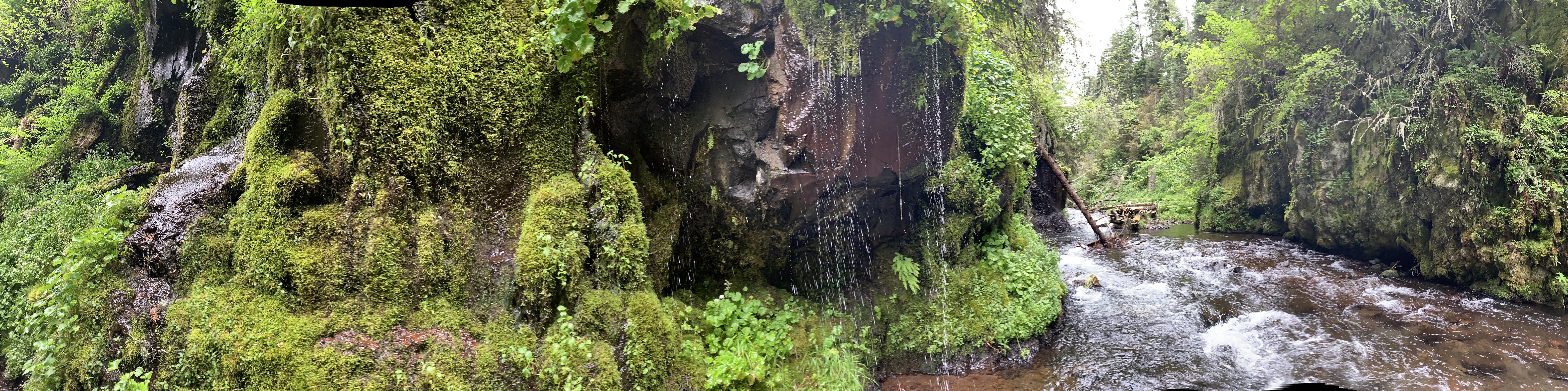
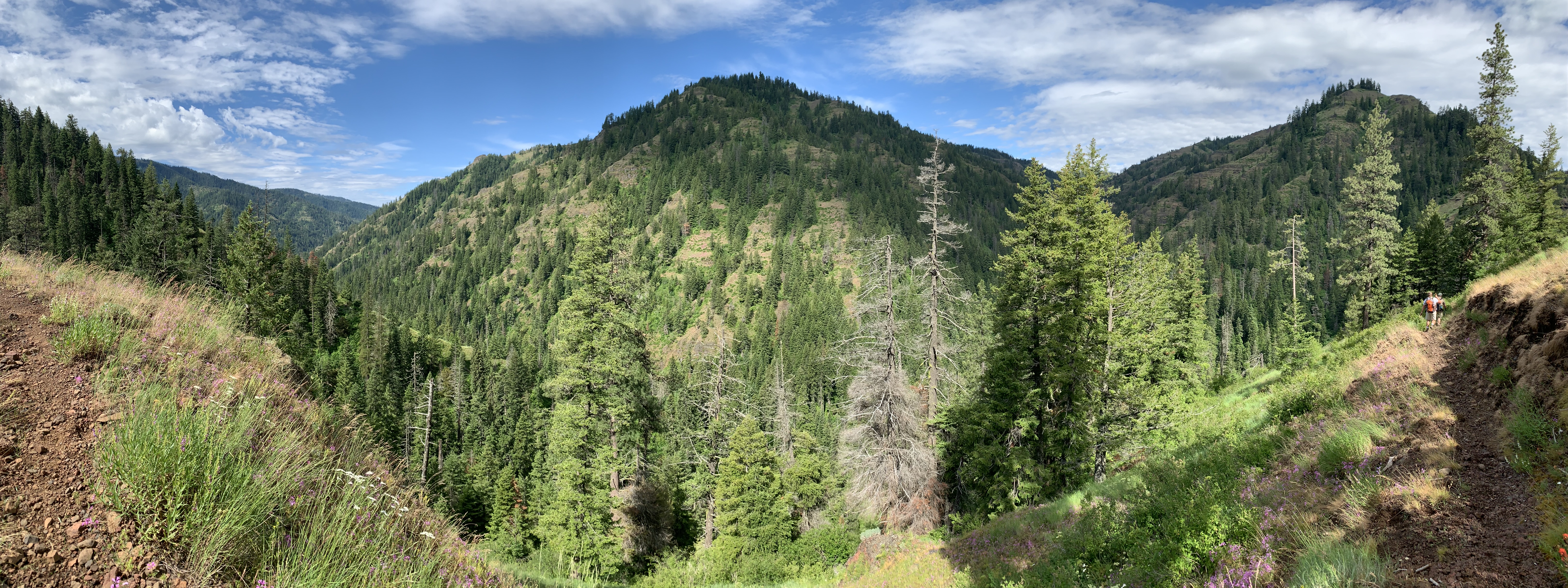
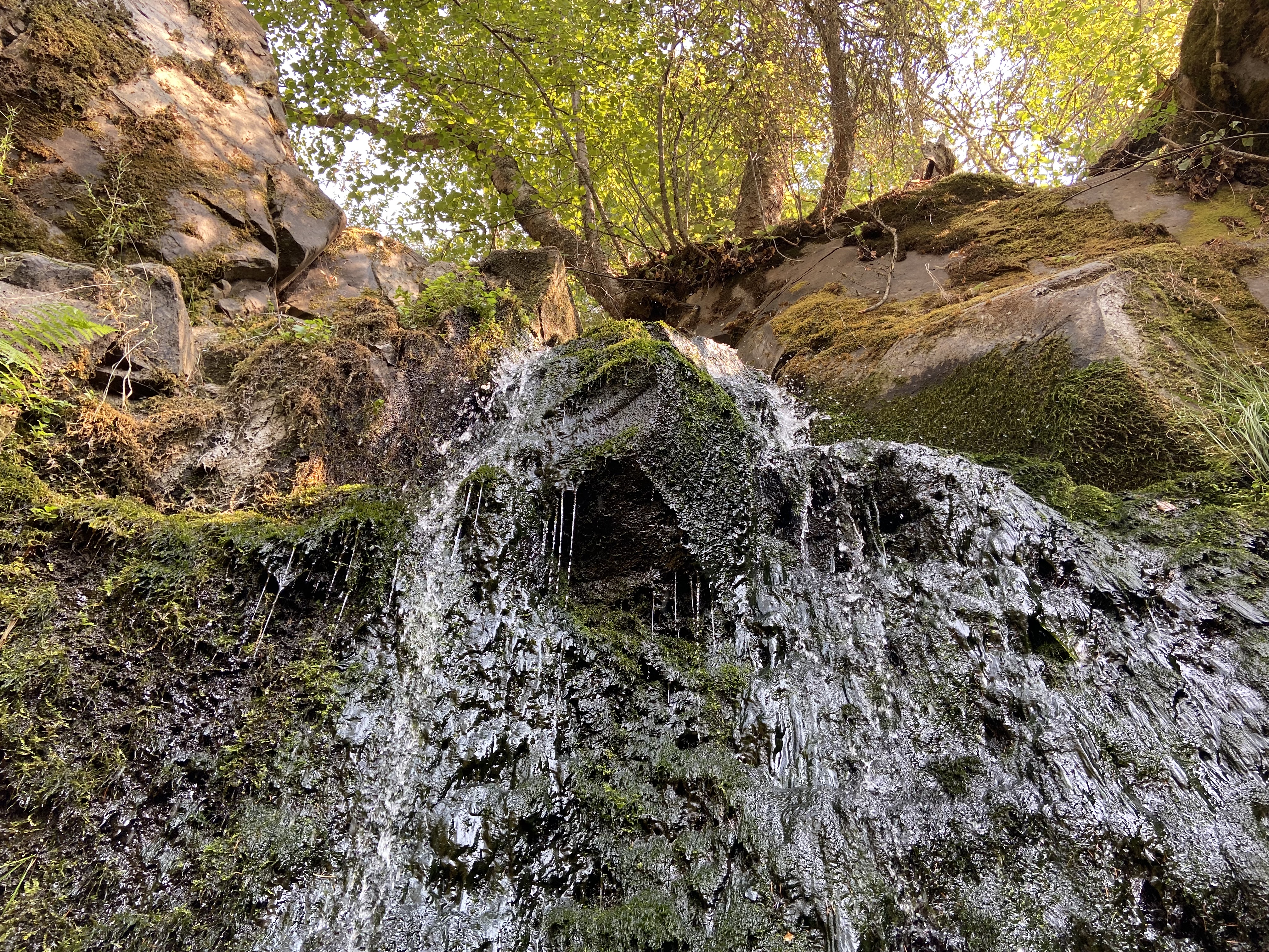
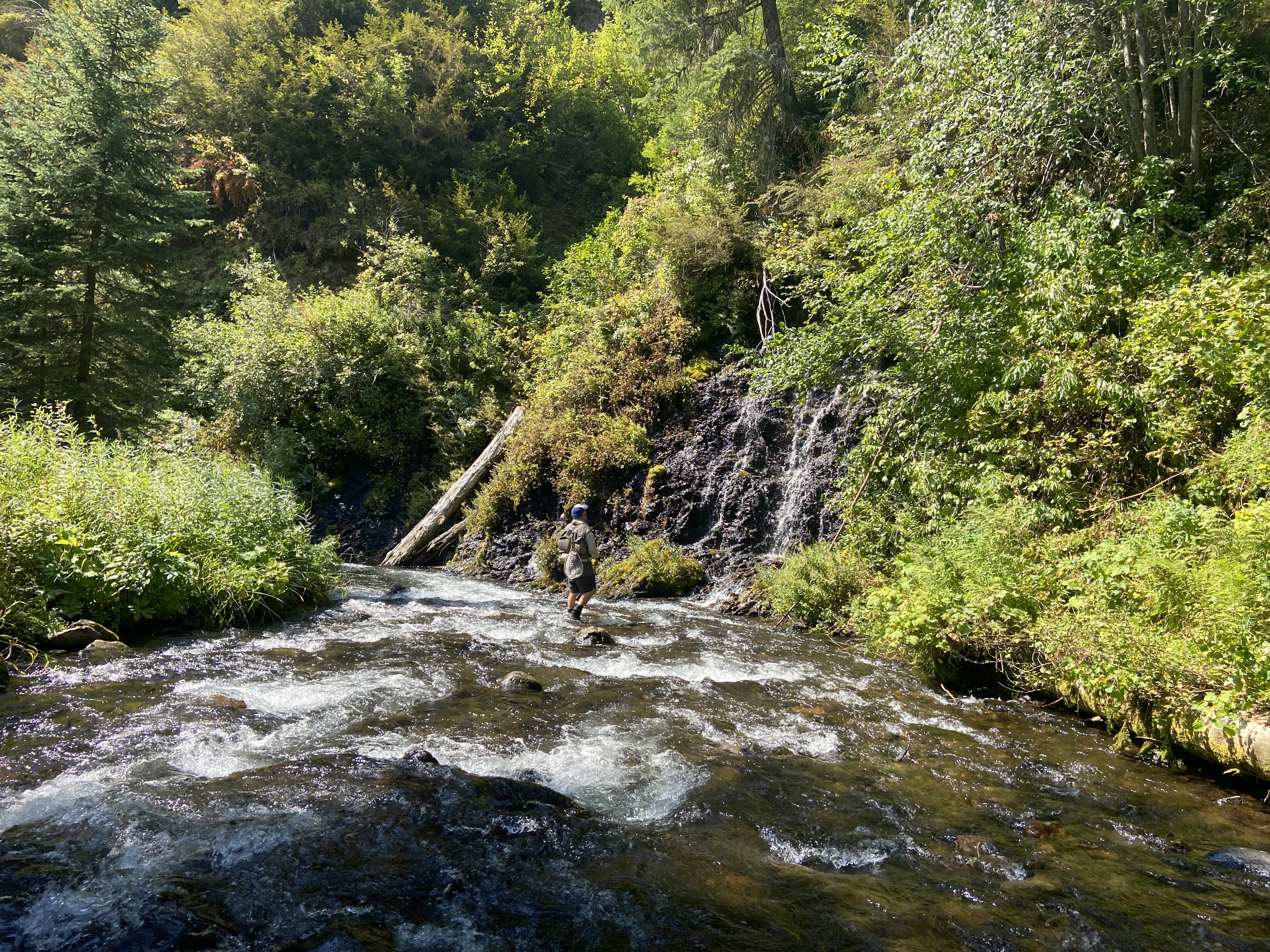
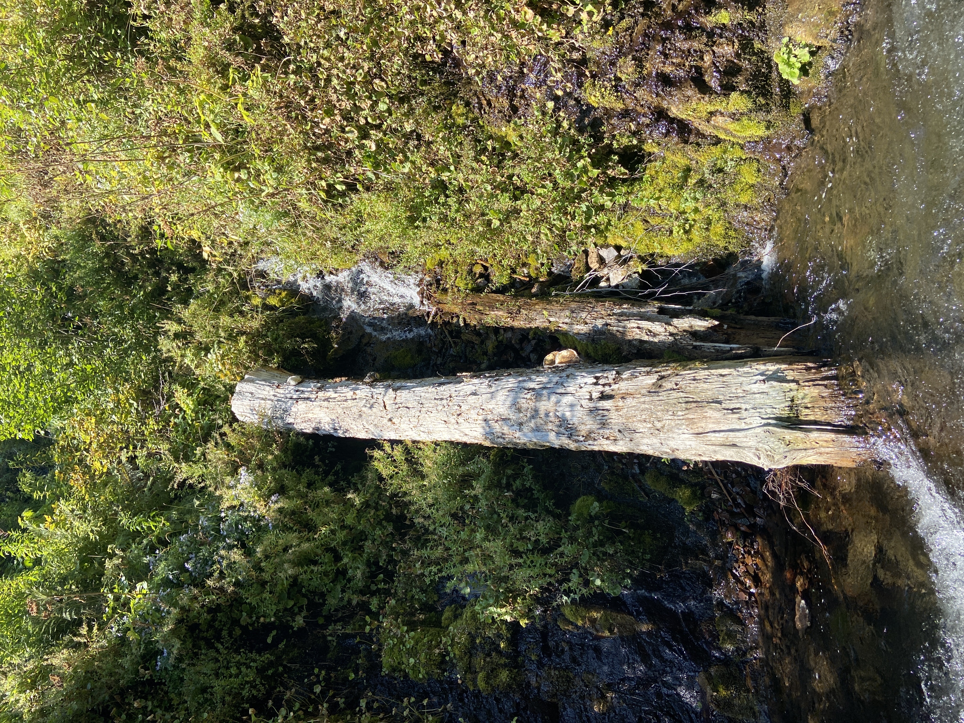
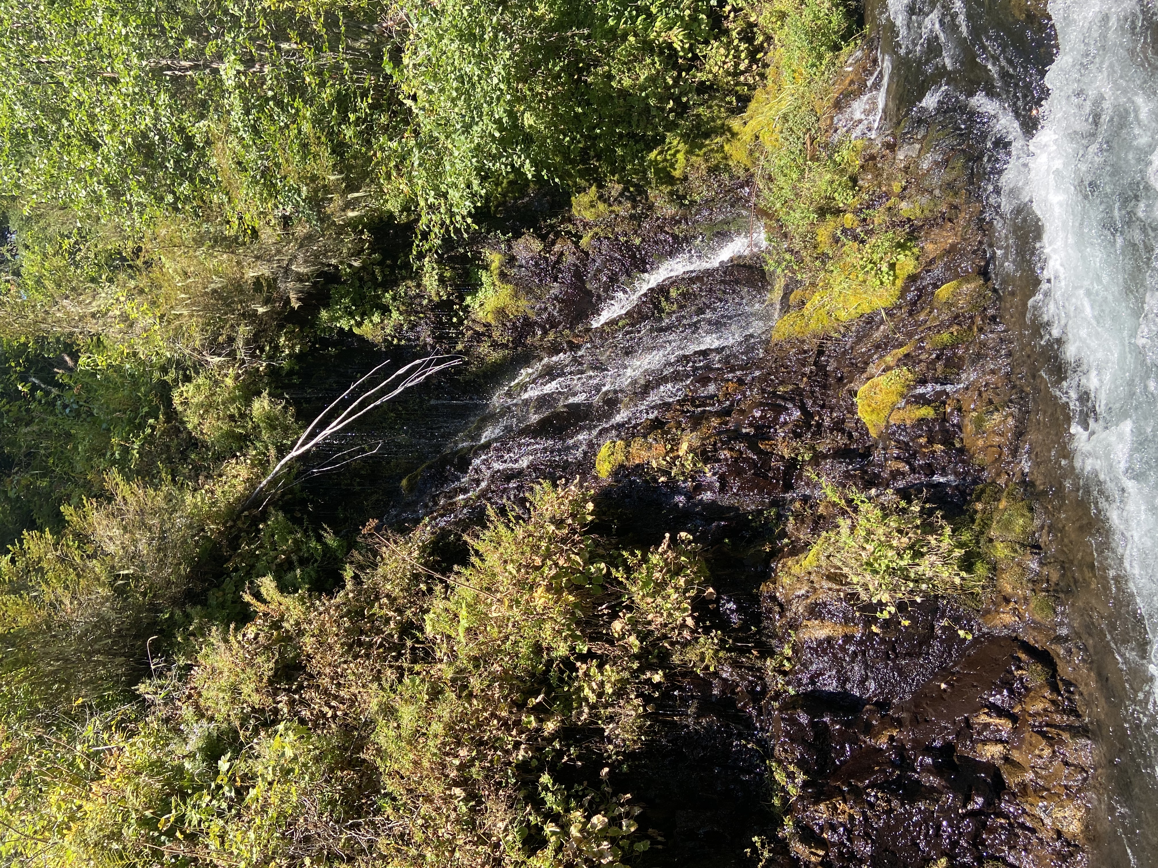
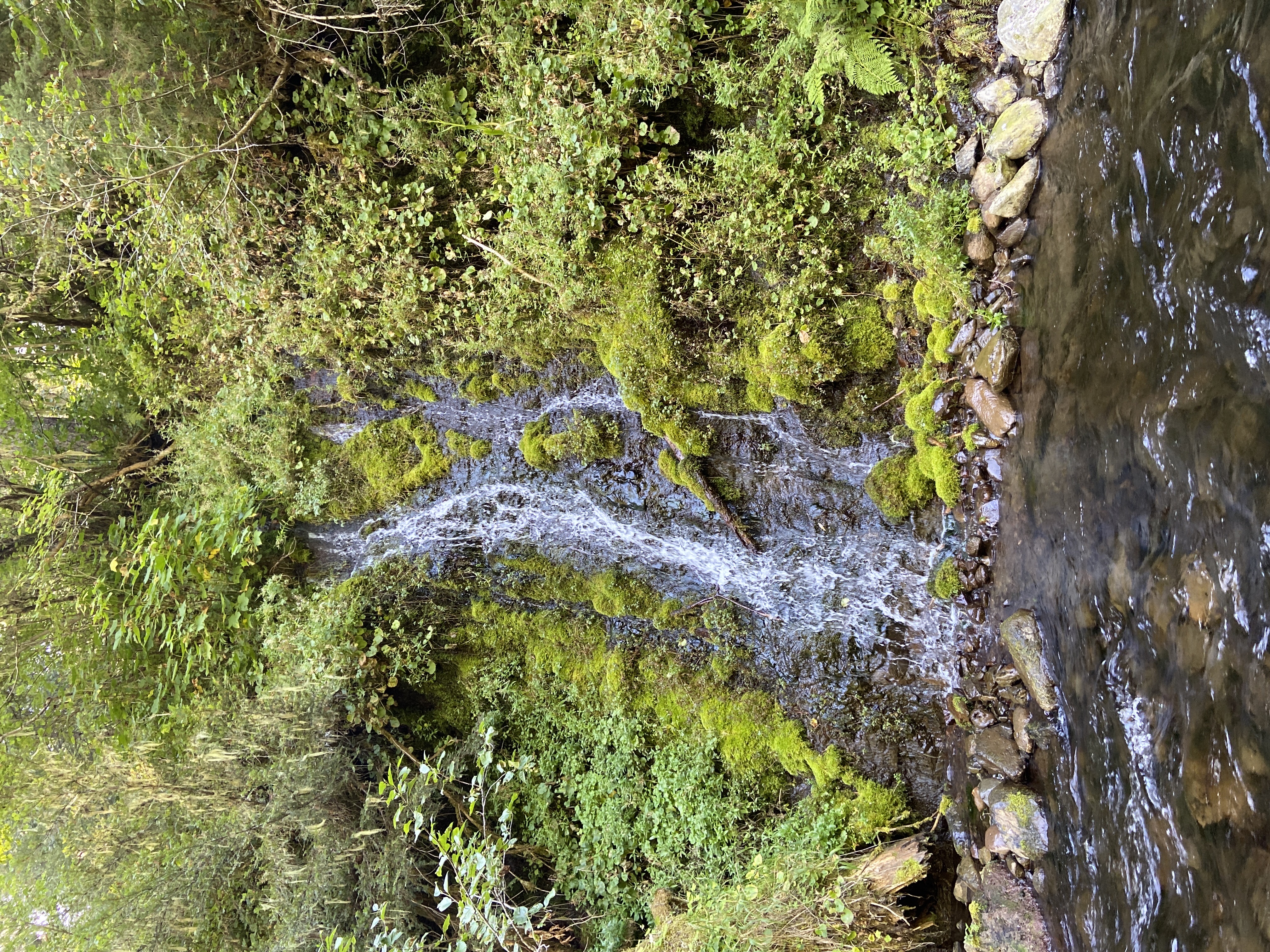
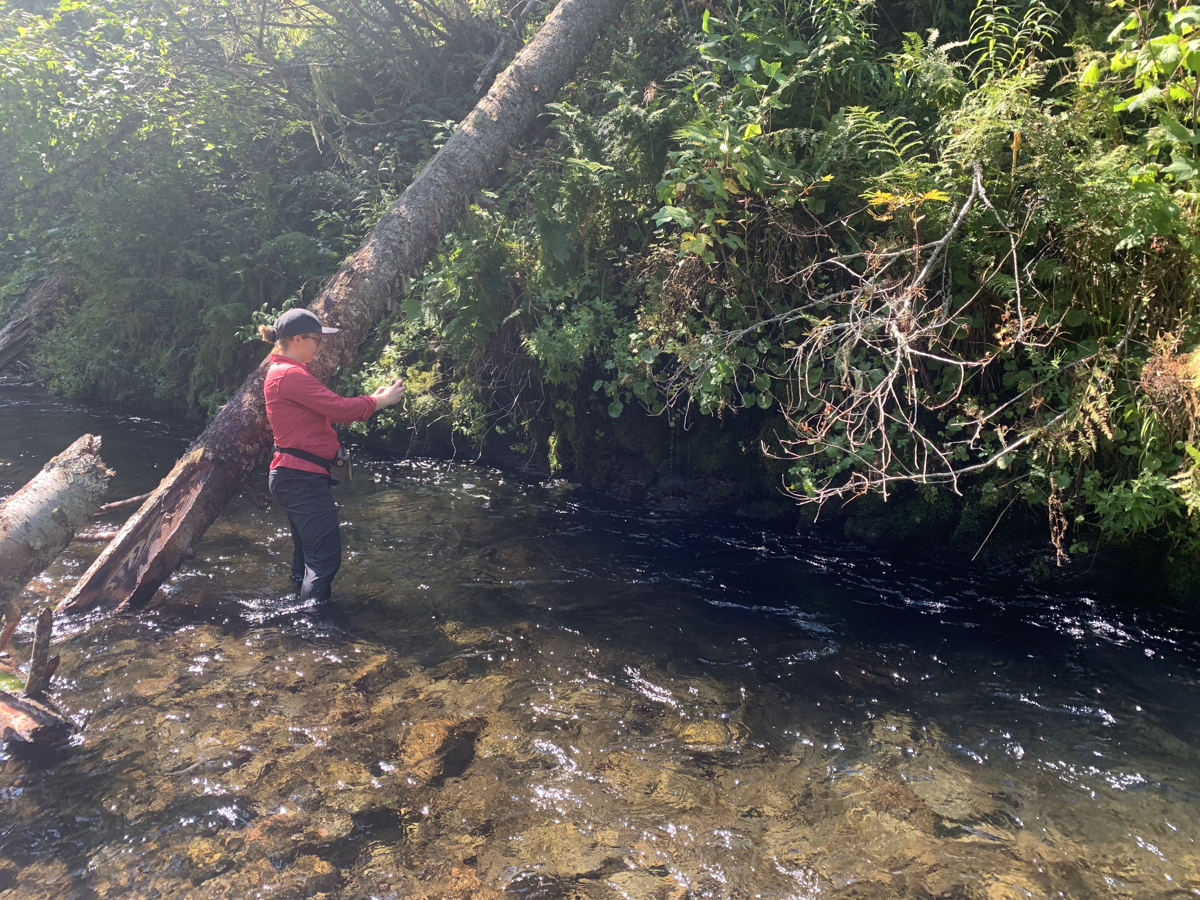
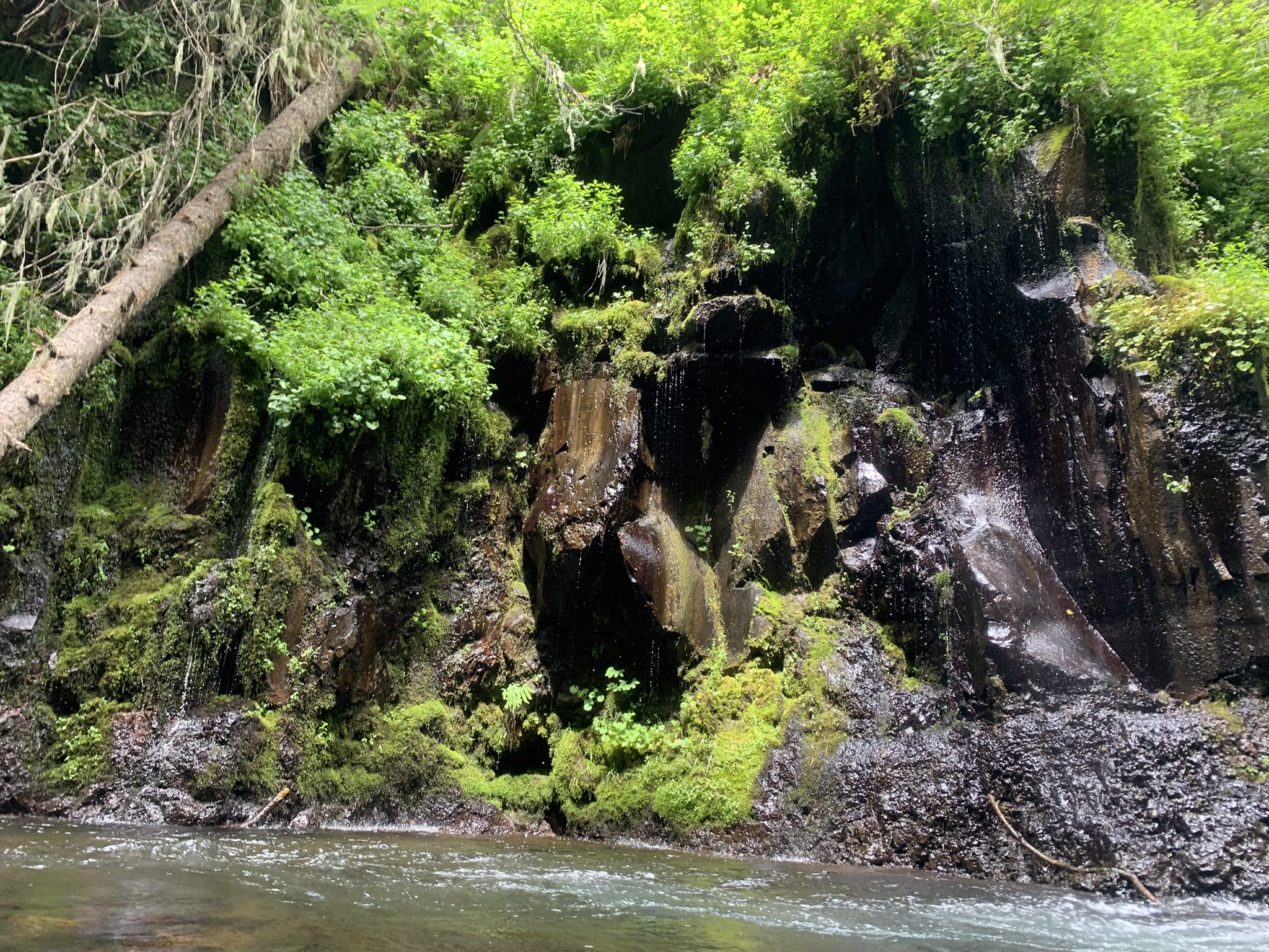
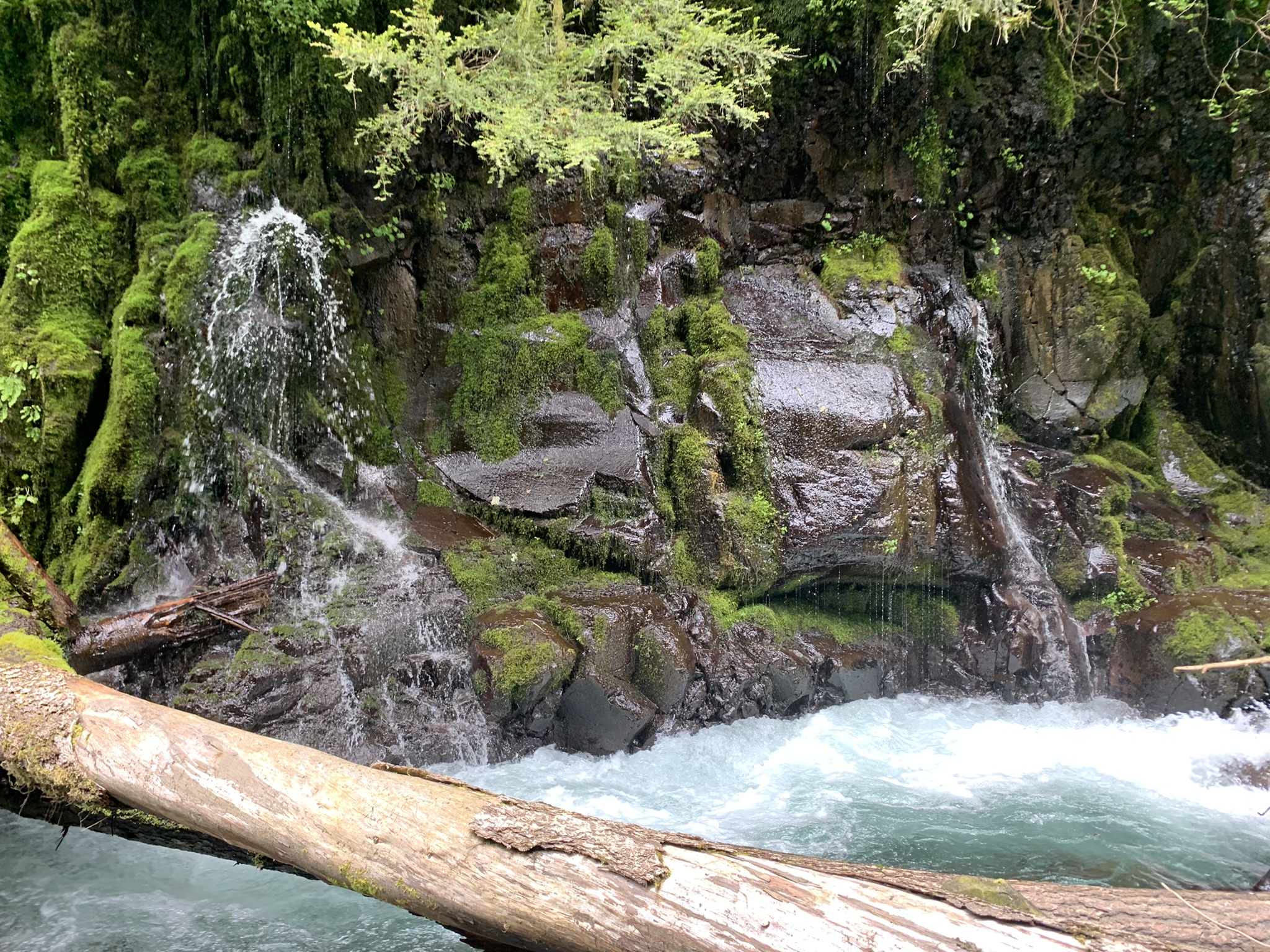
The South Fork Walla Walla River Baseflow Assessment will occur in the Middle and Upper HUC-6 subwatersheds in the Umatilla National Forest in the Blue Mountains. The Walla Walla River is a groundwater-dependent system with summer base flows supplied, in large part, by springs emerging from basalt aquifers in the South Fork drainage. Climate science predicts changing precipitation and infiltration patterns in the Blue Mountains will reduce spring performance. Reduced summertime base flows will accentuate downstream low flow and high water temperature conditions documented as primary limiting factors for native fish species. To protect and enhance upper watershed groundwater discharges to the Walla Walla River, we must first understand the status of the resource and the processes that govern spring production. Our goal is to sustain this ecosystem function throughout the predicted shifts in precipitation patterns rather than face the challenge of restoring it in 50 years when spring production has declined and the downstream conditions have been further degraded. The proposed base flow assessment will include 1) LiDAR acquisition, 2) a field inventory to locate and characterize the springs to document baseline conditions, 3) the creation of a hydrologic map of the project area, and 4) public outreach to promote water conservation efforts that support sustainable municipal supplies. Isotope results from a concurrent USGS study will provide information about groundwater infiltration timing and relative time to discharge. Results from this assessment will guide strategies for enhancing infiltration, protecting recharge zones, and other efforts to mitigate the anticipated reductions in spring performance due to climate change. Project partners include the City of Milton-Freewater, USFS, OWRD, USGS, ODEQ, and BLM. |
|
Springs +
130 springs were documented including visits to 6 known springs: Deadman, Gabriel, Husky, Skookum, Whisky, and Wild Woman Springs.
Days +
Over the 2021 and 2022 field seasons, the WWBWC field crew spent 51 days scouting and surveying groundwater springs that act as source water for our basin.
Acres +
80,640 acres total acres of habitat were evaluated/surveyed through this project.